The Hoddle Grid is the street layout of Melbourne’s CBD.
It was named after its designer, Robert Hoddle (1794 – 1881) Hoddle was an accomplished artist and surveyor.
Hoddle’s Grid covers the area from Flinders Street, in the south to Queen Victoria Market in the north and Spencer Street in the west to Spring Street in the east.
The State Library of Victoria have just released an iPhone app that has used over 300 images of old Melbourne and combined them with stories and historical detail.
“The app uses your location to reveal rarely seen photos and stories of the surrounding buildings and streetscapes, as well as amazing aerial views.”
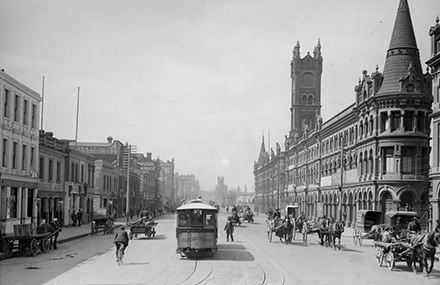
I have only spent a brief time using it while walking around the city and found it fascinating. It sadly reveals just how many old buildings have fallen to Whelan the Wrecker’s demolition ball.
Hoddle’s Grid: Street history of Melbourne is only for iPhones so Android users will unfortunately miss out.
The old fish market in Flinders Street (gone)


, Annecy FR")